Few rivers in the Great Plains have shaped settlement, agriculture, and flood policy as directly as the kansas river. From prairie confluences to metropolitan corridors, it is both a working river and a living system.
This article explains where the river comes from, what it supports, and how people manage its risks and benefits today.
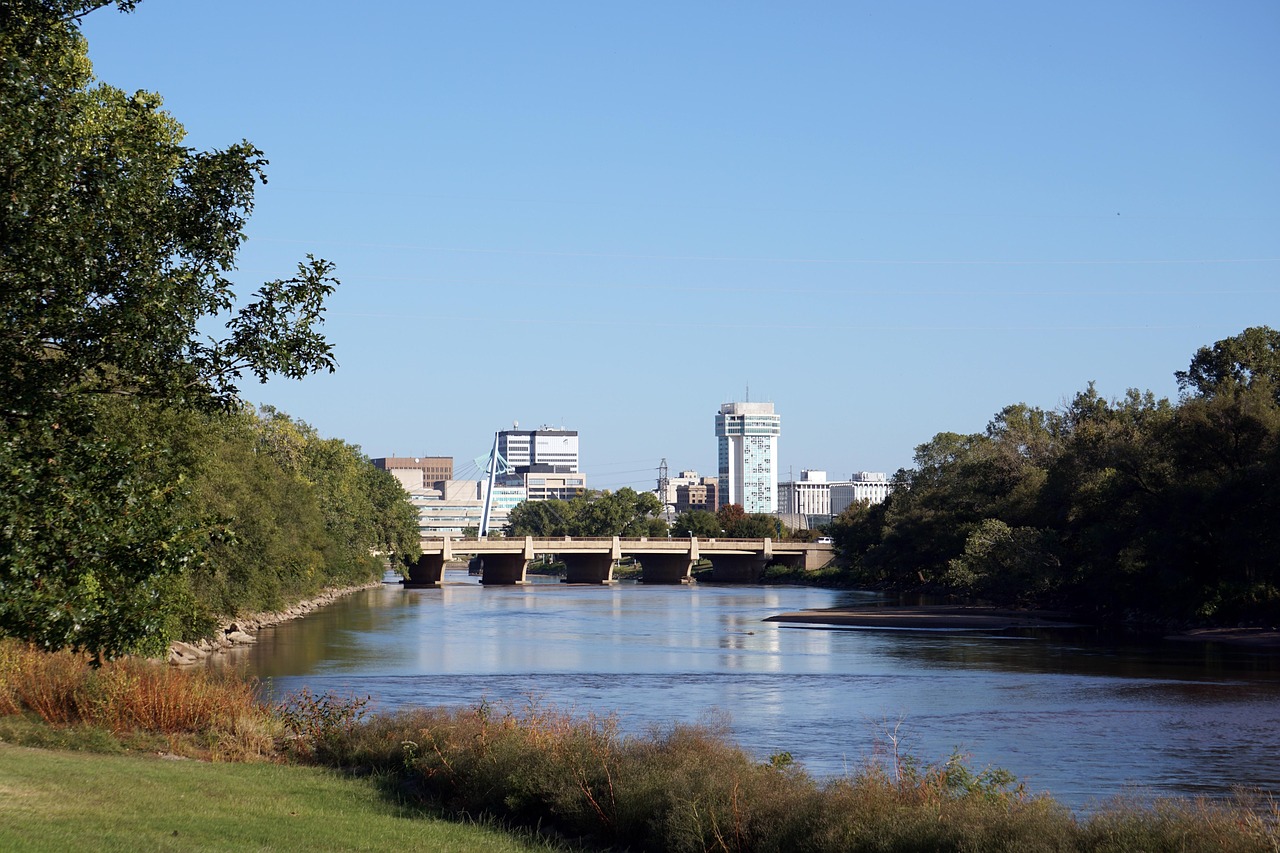
Where the River Starts and Where It Goes
The kansas river begins in north-central Kansas at Junction City, where the Smoky Hill River and the Republican River meet. From there it runs generally east to the Missouri River at Kansas City, covering roughly 170 miles of main channel while draining a much larger basin that reaches into Colorado, Nebraska, and much of central Kansas.
That “short mainstem, big basin” contrast is key to understanding its behavior. The river’s flow reflects snowmelt and rain far upstream as well as local storms in the Flint Hills and the urbanizing corridor near Topeka and Kansas City. When multiple tributaries peak together, the river can rise quickly even if the weather downstream seems mild.
Along its course, the river crosses changing landscapes: open rangeland and cropland, limestone bluffs and sandbars, and eventually dense infrastructure near cities. These transitions influence bank stability, habitat, and the way communities view the river—either as a resource corridor or as a hazard to manage.
What the River Provides
For many communities, the kansas river is a source of municipal and industrial water, especially during dry periods when smaller streams run low. Water utilities draw from the river and from connected alluvial aquifers; both depend on sustained baseflow and careful management of withdrawals and water quality.
The river valley has long supported agriculture. Its floodplain soils can be fertile, and irrigation withdrawals are common in parts of the basin. At the same time, the same flat lands that grow crops are also the areas most exposed to flooding, creating a constant tradeoff between production and protection.
Ecologically, the river’s broad, sandy channel and shifting bars can support fish, mussels, and riparian wildlife adapted to dynamic conditions. Habitat quality depends on flow variability, sediment movement, and the ability of the channel to adjust. Where bank armoring or channel modifications limit that movement, the river can lose complexity that many species rely on.
Floods, Dams, and the Modern River
Flood history is inseparable from the kansas river. Large floods have repeatedly tested towns and cities along the corridor, with especially memorable events in the mid-20th century and again in more recent decades. Even with modern forecasting, a wide basin and intense rainfall can still deliver high water quickly.
To reduce risk, several major reservoirs in the basin provide flood-control storage and help regulate seasonal flows. These projects can lower peak flows downstream when operated to capture storm runoff, but they cannot eliminate flooding entirely, particularly when storms exceed storage capacity or when heavy rain falls below the dams.
Modern river management also involves water quality and sediment. Reservoirs can trap sediment that would otherwise move downstream, while urban and agricultural runoff can carry nutrients and contaminants into the channel. Communities respond with a mix of strategies: floodplain zoning, levees in strategic locations, streambank stabilization, watershed best practices, and restoration projects aimed at improving habitat without increasing flood risk.
Conclusion
The kansas river is a short mainstem with an outsized influence: it supplies water, supports farms and wildlife, and demands continual attention to floods and watershed health. Understanding its basin-wide connections is the first step toward living with the river rather than simply trying to confine it.